GEOG 1000 Lecture 3: 0905 Lecture Notes
GEOG 1000 verified notes
3/43View all
Document Summary
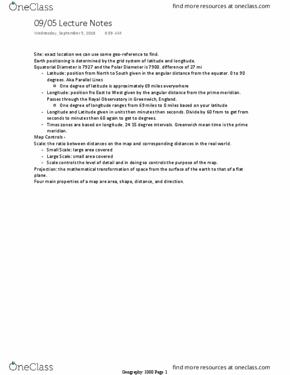
Site: exact location we can use some geo-reference to find. Earth positioning is determined by the grid system of latitude and longitude. Equatorial diameter is 7927 and the polar diameter is 7900. difference of 27 mi. Latitude: position from north to south given in the angular distance from the equator. One degree of latitude is approximately 69 miles everywhere. Longitude: position fro east to west given by the angular distance from the prime meridian. Passes through the royal observatory in greenwich, england. One degree of longitude ranges from 69 miles to 0 miles based on your latitude. Longitude and latitude given in units then minutes then seconds. Divide by 60 from to get from seconds to minutes then 60 again to get to degrees. Scale: the ratio between distances on the map and corresponding distances in the real world. Scale controls the level of detail and in doing so controls the purpose of the map.


