GEOG 1F91 Chapter Notes - Chapter 2: Subsolar Point, International Date Line, Leap Year

1 Nov 2016
School
Department
Course
Professor
Document Summary
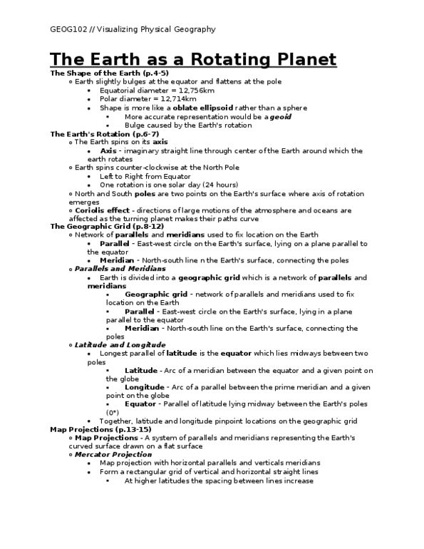
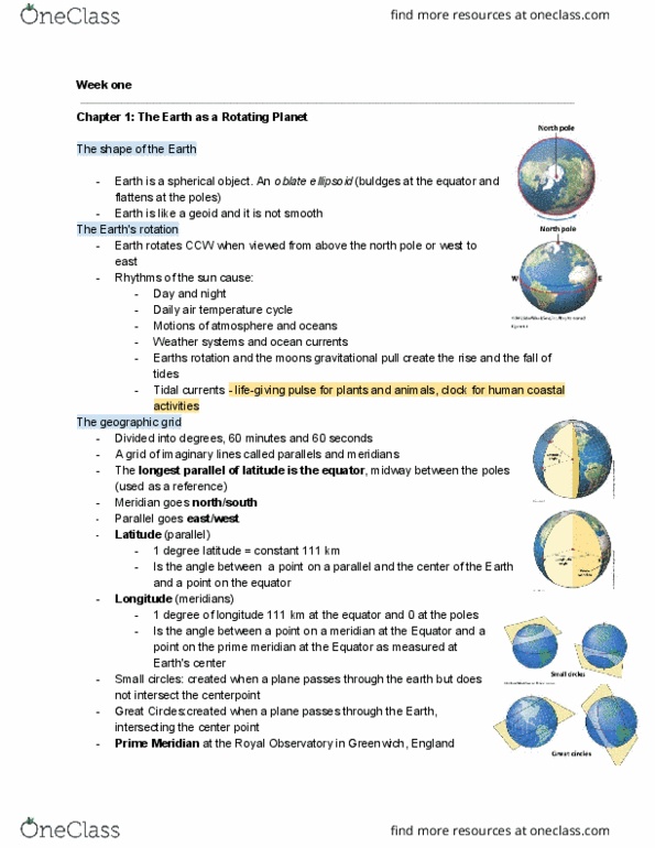
Chapter 2 reading the earth as a rotating planet. Geographic grid: a spherical coordinate system that is used to find locations. Parallels: imaginary lines that are arranged perpendicularly to the axis of of features on earth"s surface (cid:523)two sets of intersecting circles(cid:524) Equator: earth"s longest parallel (cid:523)middle of the earth(cid:524) Great circles: created on the earth"s surface when the plane of intersection passes through the middle of the globe. Small circles: plane of intersection does not pass through the centre, but rotation (intersect with meridians) Meridians: lines of longitude dividing earth from pole to pole (intersect with parallels) through the sphere at another point. Defined by the intersection of a parallel and meridian. Parallels of latitude: angular distance measured north or south of the equator. Meridians of longitude: angular distance measured east or west of the prime meridian latitude and longitude can be subdivided into minutes and seconds.