SLE102 Study Guide - Midterm Guide: Sexagesimal, Magnetic Bearing, Grid North

9 Aug 2018
School
Course
Professor
Document Summary
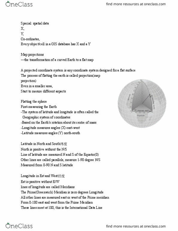
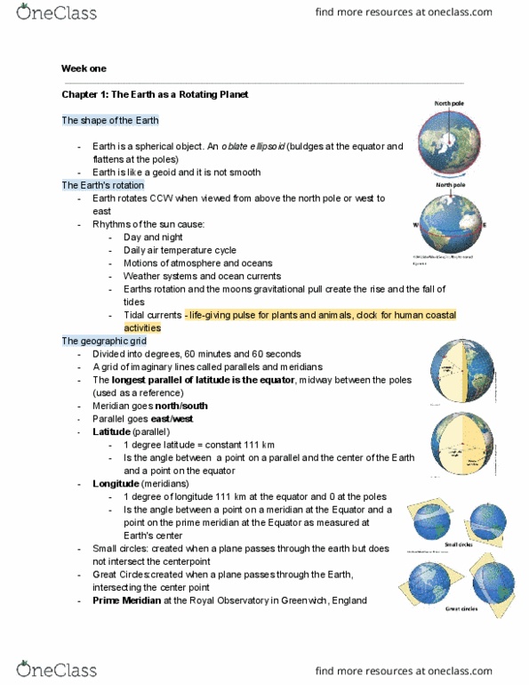
Topographical profiles: a vertical slice through an area used to illustrate the (cid:858)shape(cid:859) of the land surface as viewed from the side: latitude: Given in degrees and minutes north or south of the equator. Lines run east-west (parallel to the equator) ; horizontally. Value between 0 and 90 : longitude: Given in degrees and minutes east or west of the greenwich meridian. Value between 0 and 180 : true north: the direction of the meridians of longitude; is parallel to the east and west edges of a topographical map, grid north: deviates from true north by in an easterly direction. On a topographical map: australia is divided into 8 zones, eastings: lines drawn north/south and numbered across the map left to right, northings: lines drawn east/west and numbered from bottom to top. Geological maps: show the distribution of rock types in a particular area. Includes rock types/groups; ages of rocks; other geological features such as faults and folds.