GEOG106 Lecture Notes - Lecture 7: Geosynchronous Orbit, Map Projection, Feedback

21 Mar 2017
School
Department
Course
Professor
Document Summary
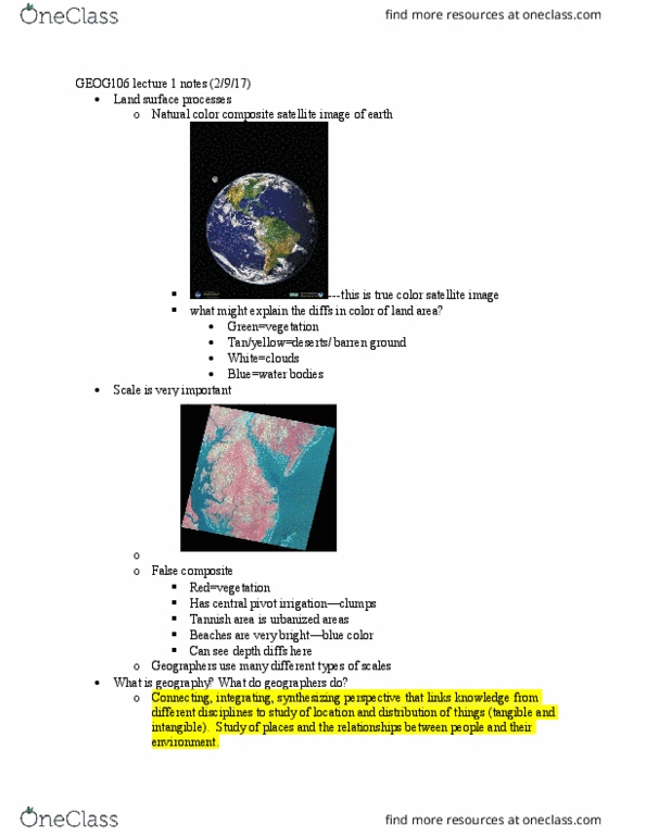
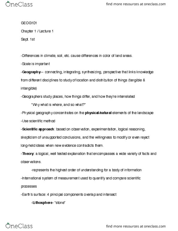
Exam 1 review materials include 4 lecture powerpoint slides, textbook (1,2,10-12), quizzes, and in class exercises. Important longitudes: convergence at poles, because meridians converge at north and south pole, actual distance contained in 1 degree of longitude varies from 111km at equator to 0 at poles. ** when you are writing the coordinates you put (latitude, longitude) Globes & maps, gps, gis, remote sensing - definition globes advantages and disadvantages. Advantages: accurately convey the spherical shape of earth, accurately show spatial relationships of earth"s surface, maintaining correct size, shape, distance and direction relationships of features. Disadvantages: only see a hemisphere at a time, cannot contain much detail. Imperfect /always distortion: scale define, 3 definitions (spatial resolution, areal extent, cartographic scale) Map projections: spherical surface of earth is transformed for display on a flat surface, cannot be transferred without distortion of shape, relative area, distance, and/or direction.