GEOG 1HA3 Lecture Notes - Lecture 4: Contour Line, Spatial Analysis, Compass Rose

26 Dec 2018
School
Department
Course
Professor
Document Summary
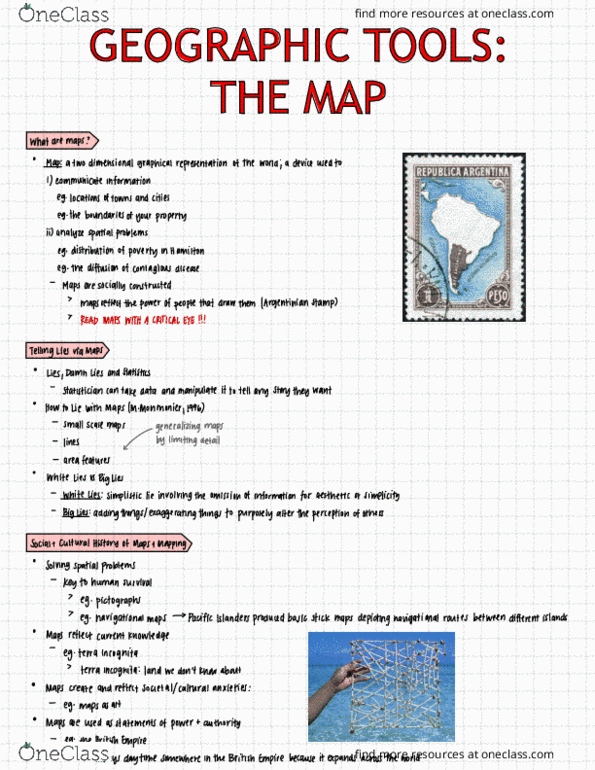
Geographic tools: the map; social and cultural interpretations. Map: a two-dimensional graphical representation of the world; a device used to i) communicate information and ii) analyze spatial problems. Maps reflect the power of the people that draw them. How to lie with maps (m. monmonier, 1996) Critical eye: whos producing it, why are they producing it, what message are they trying to tell. Social and cultural history of maps and mapping. Maps reflect current knowledge: terra incognita (land that we know nothing about) Maps create and reflect societal/cultural anxieties: maps as art. Maps are used as statements of power and authority: ex. The british empire (areas shaded in pink represent the british colonies/territory) Maps are like others forms of visual representation of data (ex. Key considerations in the production, and understanding (interpreting), of maps: scale, perspective, projection, type. Scale: indicates the spatial relationship between real-world locations, distances and areas, and their representation on the map.