GGRA30H3 Lecture Notes - Lecture 1: Waze, Public Participation Geographic Information System, Ifttt


Document Summary
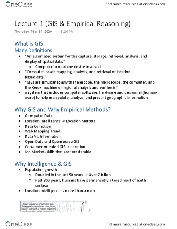
Gis stands for geographic information system using computer hardware, software and a ton of raw data, we can explore the fundamental principle of geography that location is important in people"s life. Using gis can view, understand, question, visualized and interpret data in visual ways that view relationships and patterns which allows us to make better decisions. Gis is essential to understanding what has happened, what is happening and what will happen in geographic space. An automated system for the capture, storage, retrieval, analysis and display of spatial data. Computer-based mapping, analysis, and retrieval of location-based data. Giss and simultaneously the telescope, the microscope, the computer, and the xerox machine of reginal analysis and synthesis. A system that includes computer software, hardware and personnel (human-ware) to help manipulate, analyze, and present geographic information. Consumer-oriented gis---location (geofencing; company like star bucket may tend to find a digital fence) Doubled in the last 50 years, over 7 billion.