Geography 1100 Lecture Notes - Lecture 5: Shortwave Radio, Background Radiation, Electromagnetic Spectrum

21 Jan 2016
School
Department
Course
Professor
Document Summary
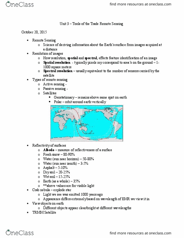
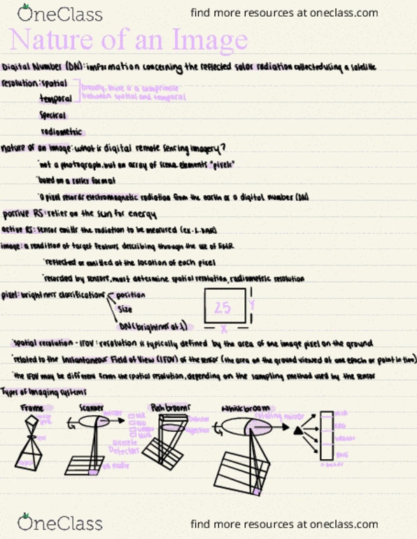
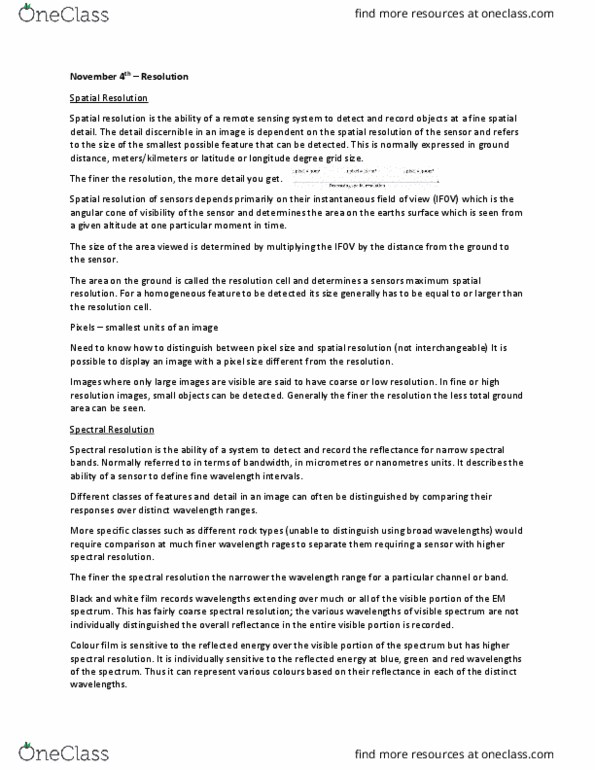
> a science of deriving information about the earth"s, (or any planet or object of interest) surface from images acquired at a distance. > trying to determine the type of animal from its footprints (analogy) > to understand how resolution, spatial, and spectral effects feature identification. > spatial resolution: => size of pixel that is recorded in a raster (grid of pixels) => image typically corresponds to square areas on the ground ranging. > spectral resolution: => the number of different wavelength bands recorded from <1 to >1,000 m2. => usually equivalent to the number of sensors carried by the satellite. > geostationary (so far away, it looks to be fixed in space, but is actually moving at the same rate as the earth) One orbit of a geostationary satellite takes 23 hours and 56 mins. > able to collect global data on a daily basis for a variety of land, ocean, and atmospheric monitoring applications.